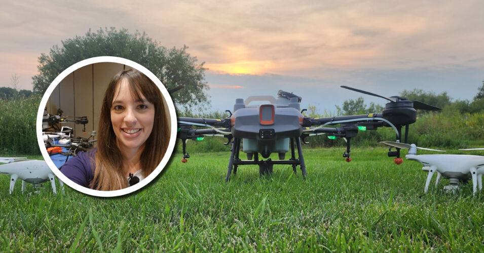
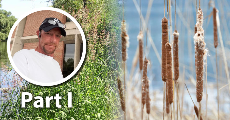
Our ability to control Aquatic Invasive Species (AIS) is improved when we have multiple types of data, both current and historical. In this talk, we’ll discuss some of those types of data used to develop an AIS plan for Pheasant Branch Conservancy. The Conservancy is more than 600 acres of remnant and restored habitat managed by the City of Middleton, the County of Dane, and the Friends of Pheasant Branch Conservancy (FOPBC). In 2025, FOPBC received an AIS Planning grant from the Wisconsin DNR to write a plan for more than 275 acres in the southern portion of the Conservancy. Our team of five professionals from four companies gathered data using vegetation surveys, unmanned aerial vehicle (UAV, “drone”) high-definition and IR imagery, and soil cores, and compared these data to historic surveys and imagery. The northern portion of the project area contains high-density invasive cattail stands mixed with higher-quality Sparganium and tussock sedge communities. The southern portion is dominated by reed canary grass. Common buckthorn and sandbar willow are common throughout. The current vegetation is particularly influenced by human-made structures such as a levy that channels nutrients and sediments into the southern portion of the Conservancy. Using these different data sources, we then created an AIS plan that prioritized high-quality areas and provided short- and long-term management recommendations for the three stakeholders.
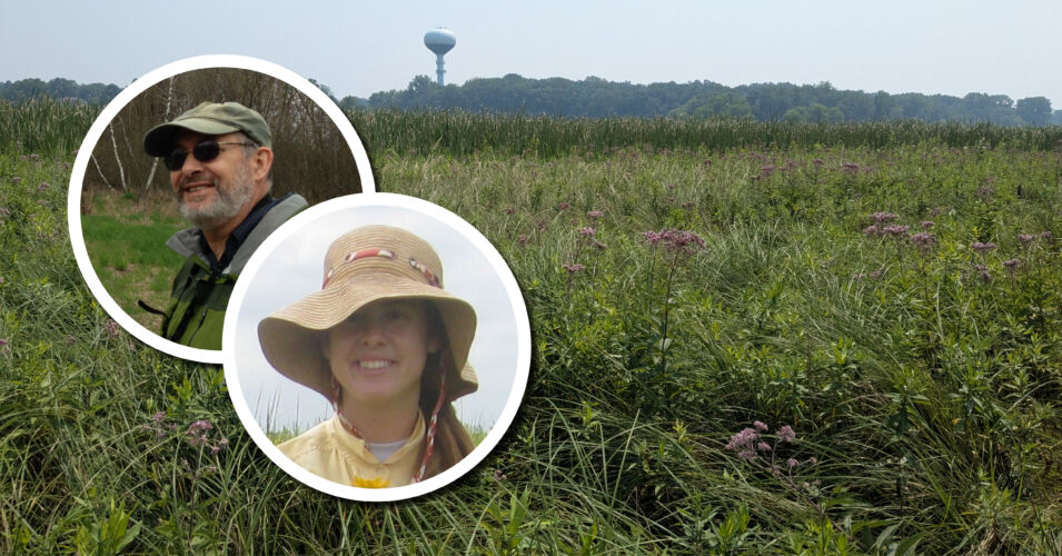
Evelyn Webb Williams, Adaptive Restoration and Tom Bernthal, retired WDNR and Friends of Pheasant Branch volunteer
Recorded June 5, 2026
Evelyn Webb Williams has been a Restoration Ecologist with Adaptive Restoration since 2021 and works with diverse private, municipal, and not-for-profit landowners to restore healthy, robust native ecosystems. She earned her PhD from UW-Madison in Botany and worked for many years at the Chicago Botanic Garden on projects in conservation genetics and prairie diversity impacts on restoration success.
At WDNR, Tom Bernthal served as the Wetland Monitoring and Assessment Coordinator, where he led such projects as the WI Floristic Quality Assessment Methodology and Database; Wetlands by Design, a GIS-based functional assessment of existing and potentially restorable wetlands; the SE WI Ephemeral Ponds Mapping and Monitoring Project; and other mapping and field assessment projects. As a Friends of Pheasant Branch volunteer since 1997, he has worked on wetland and prairie restoration projects, including writing and managing a series of Aquatic Invasives Control grants focused on sedge meadow restoration from 2011 to the present.
Related content
Wetland Coffee Break: Invasive species or invasible ecosystems?
Wetland Coffee Break: The influence of beaver dams on Wisconsin trout streams
Wetland Coffee Break: Toward more effective invasive species management: Part 1