Wisconsin Wetlands Association (WWA) and partners in the Lake Superior Basin kicked off their newest place-based flood resilience project, “Accelerating Natural Flood Management in the Lake Superior Basin” last October, so we thought it was time to share an update to our wetland community! This post is the first of many to come as we progress through the next few years of our work.
To refresh, this new project aims to establish a unified approach across the Lake Superior Basin to assess how the loss of headwater wetland storage and floodplain connectivity contributes to flood risks and damages. This project builds upon the assessment methods and results from our pilot project in the Marengo River Watershed, expanding into four additional Lake Superior Basin watersheds (see map below).
Read more here about the details of this project and the NOAA award supporting it.
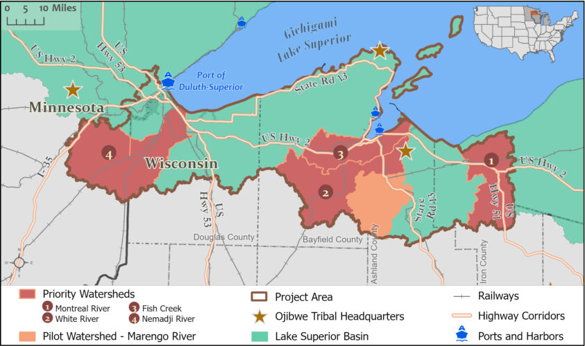
Map of the four Lake Superior Basin watersheds included in the new flood resilience project.
The theme of the first 6 months (and counting) has been establishing connections. The project leads—WWA and Northwest Regional Planning Commission (NWRPC)—have been busy coordinating with each other, as well as with the more than 20 partners and advisors. Each partner brings an important set of knowledge, skills, and relationships with the communities in the Lake Superior region.
This has meant a lot of meetings, virtual and in-person, to build and strengthen our connections with our collaborators, identify shared priorities, and get to know the watersheds.
Highlights of collaboration activities to date include:
The first few meetings in October 2024 helped us to lay the groundwork for the new project. Lake Superior Collaborative (LSC), the partnership hub, hosted their annual symposium in Ashland where we announced the project goals and activities to a larger conservation-minded audience in the region. Conversations started at the symposium have continued throughout the past few months during several working sessions with the LSC Slow the Flow Workgroup.
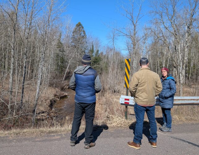
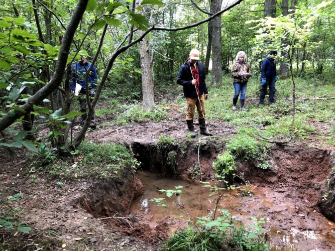
Superior Rivers Watershed Association and Wisconsin Wetlands Association partners visited a road-stream crossing on South Fish Creek.
Following the symposium, we met with staff from Great Lakes Indian Fish and Wildlife Commission, who are leading tribal coordination across all watersheds. Also in October, WWA and NWRPC gathered in Spooner with National Oceanic and Atmospheric Administration (NOAA) Office of Coastal Management who have dedicated program staff facilitating technical assistance.
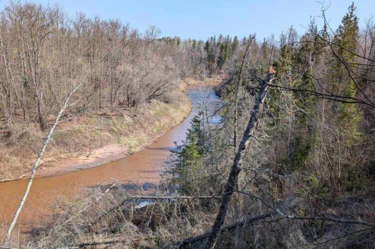
After a low travel winter season and many virtual meetings, we returned to the beautiful Lake Superior region. In April, we met with Mashkiiziibii (Bad River Tribe) Natural Resources Department staff to talk about their conservation work and knowledge of hydrologic conditions in the White River Watershed. We also toured the Fish Creek Watershed with Superior Rivers Watershed Association to visit some of their active restoration and monitoring projects.
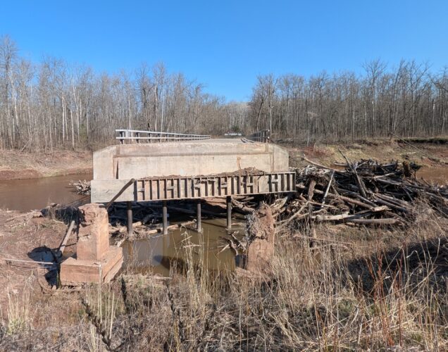
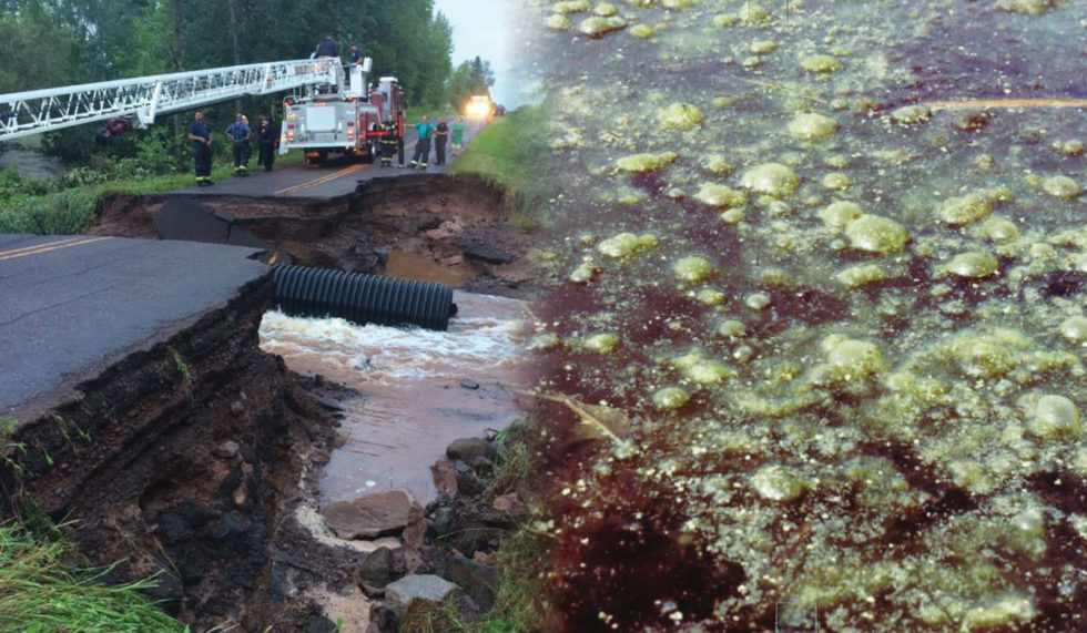
A Douglas County highway bridge washout on the Nemadji River.
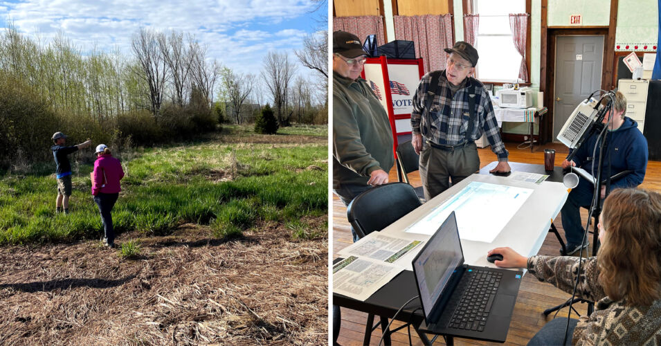
In May, we met with folks from Douglas County Land and Water Conservation Department, Ruffed Grouse Society, and the Lake Superior National Estuarine Research Reserve to learn about flood-related challenges in the Nemadji River Watershed. Also part of this trip, Stephanie Rockwood, WWA’s geospatial analyst, and Clem Larson, the GIS specialist at NWRPC, co-presented the project to an audience of geospatial professionals and UW-Superior students at a joint meeting of the GIS User Groups of Northern Wisconsin and Northeast Minnesota.
What’s next? Partnership development will continue throughout the project. Priorities this summer include planning for community conversations and workshops with new audiences, and compiling and preparing the wetland, floodplain, stream, and infrastructure data needed to complete flood resilience assessments for each of the priority watersheds. Stay tuned for our next update later this year!
Related content
$1.45 million awarded in highly competitive grant
Read more here about the details of this project and the NOAA award supporting it.
Wetlands and flood damages: Understanding the connections
Our legacy of wetland loss: Behind our water problems