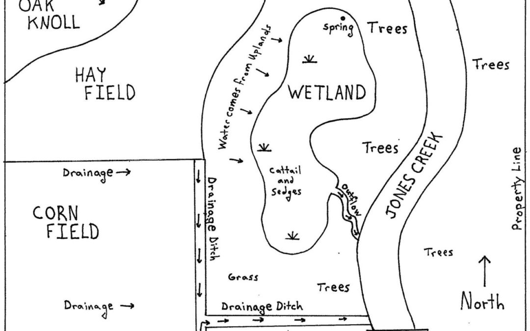
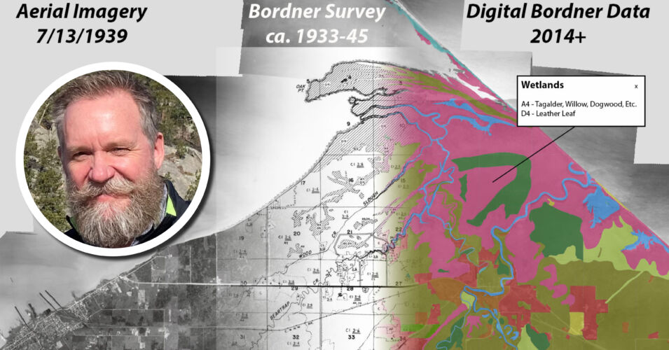
Interpretation of historic and current aerial photography is an important skill for wetland ecologists of all disciplines because it helps tell the story of land use over time. Whether you are conducting a wetland delineation or planning for habitat restoration, review of historic aerial imagery can reveal land use changes that help you better understand soil structure, hydrology, and vegetative patterns. In this session, wetland ecologist Sarah Majerus will discuss potential sources of aerial imagery, acceptable methods for interpretation, and requirements for wetland delineations in Wisconsin. She will also review case studies and collectively evaluate various wetness signatures to illustrate the intricacies of this practice.
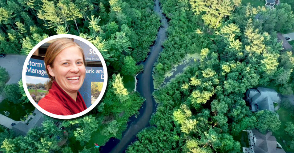
Sarah Majerus, Stantec
Recorded May 2, 2025
Sarah Majerus is a wetland ecologist with more than 15 years of experience working with partners to provide integrated solutions that minimize impacts to natural resources and provide ecological function for the future. Her expertise includes wetland delineation, permitting, watershed planning, and habitat restoration. She is a professional wetland scientist (PWS) with the Society of Wetland Scientists and a Wisconsin DNR Assured Wetland Delineator.
Resources mentioned in the presentation:
Related content
Wetland Coffee Break: Discovering historic Wisconsin geospatial data