We can’t believe it, but we are already halfway through the South Shore Flood Resilience Assessment project, our four-year, NOAA-funded collaboration focused on addressing flood vulnerabilities across Lake Superior’s south shore.
Wisconsin Wetland Association’s (WWA) Kyle Magyera and Stephanie Rockwood have had busy, but enjoyable, There is already a lot of great momentum building around identifying and prioritizing natural flood management projects that will restore hydrology and reduce flood and erosion risk to infrastructure across the four focus watersheds.
Here are some highlights since the last project update:
Winter: Community conversations
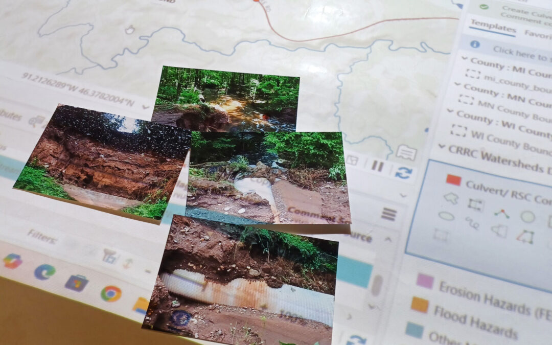
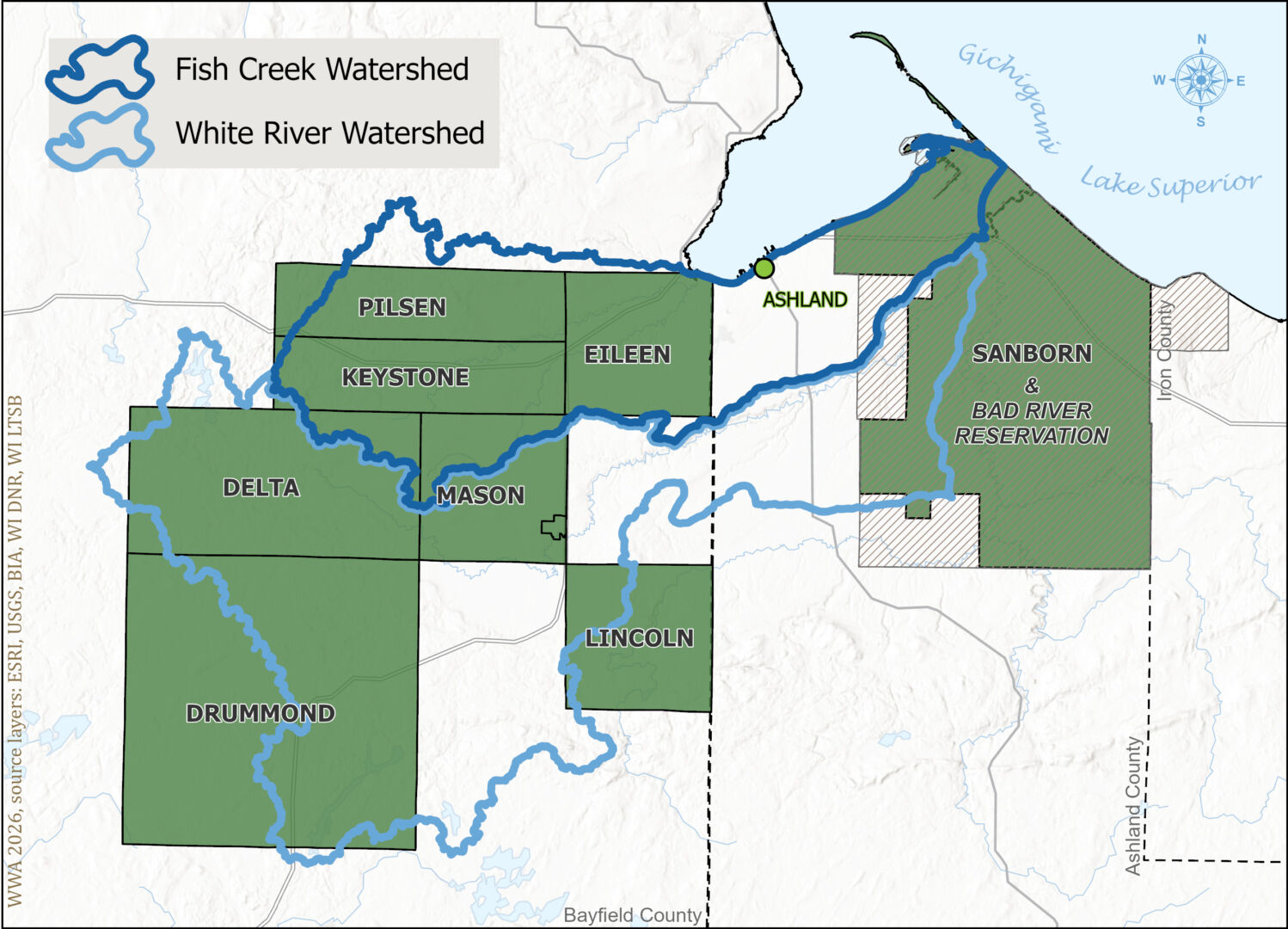
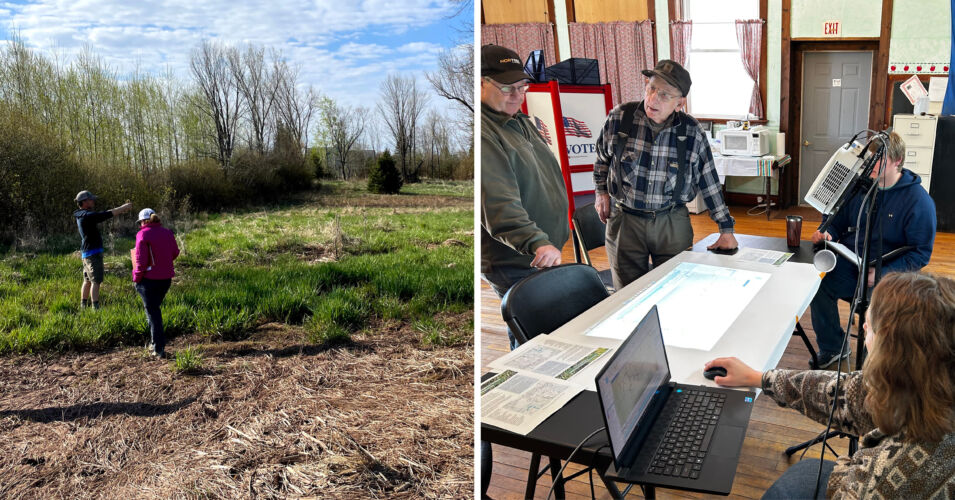
Over the winter months, WWA and partners from the Burke Center for Ecosystem Research and the Superior Rivers Watershed Association (SRWA) hosted a series of one-on-one community conversations with 8 towns and 1 Tribe in the Fish Creek and White River Watersheds (see map below). We met with town chairs and road managers in their local town halls to discuss our food vulnerability assessment project goals and expected data outputs, and explored the flood-related challenges in their respective parts of the watershed using a large digital map projected over a tabletop. Using this map setup allows us to annotate the map in real time. The information we gathered has already been used to get some new restoration and infrastructure improvement projects in the works for both the Fish Creek and White River Watersheds!
Spring: Field visits
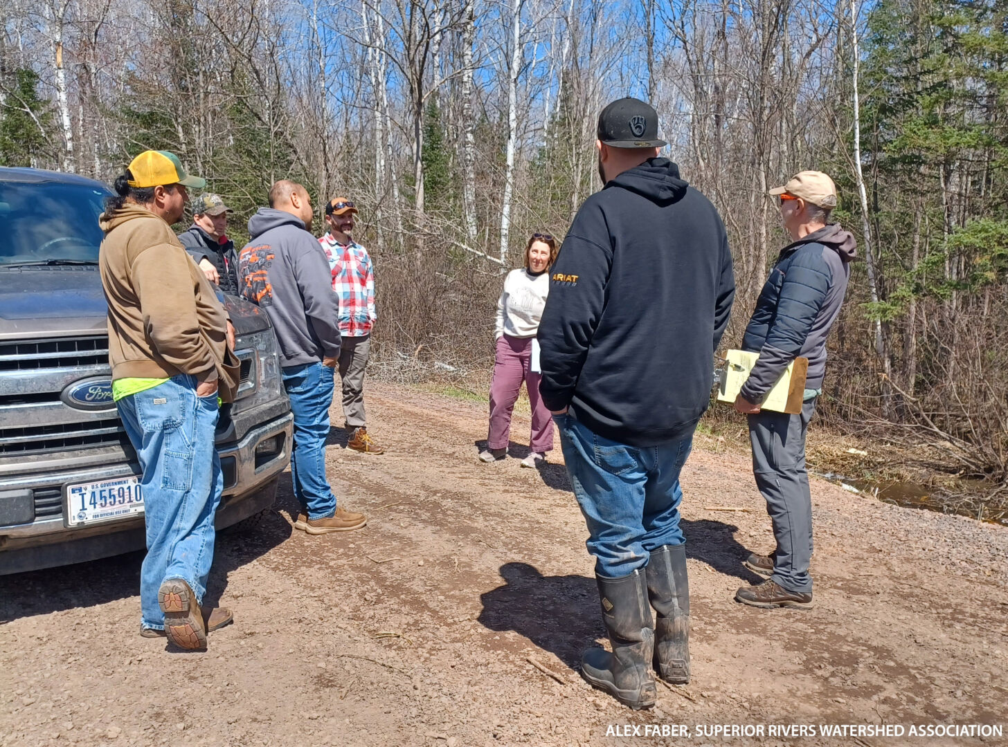
The warmer weather of the spring months gave us the opportunity to take some field tours with a few of the towns we met with over the winter months. Spring is an especially good time to get out while the road maintenance staff are inspecting areas after snowmelt. We visited some of the culverts that were noted to have flooding or debris blockage issues to collect information to validate the flood and erosion vulnerability assessment data that our GIS team is developing. These field visits also helped us better understand the variety of tasks and creative solutions involved in local road maintenance.
1. Click to Enlarge
Kyle Magyera and Stephanie Rockwood (Wisconsin Wetlands Association) talking roadside with Town of Sanborn and Bad River Tribe road managers.
2. Click to Enlarge
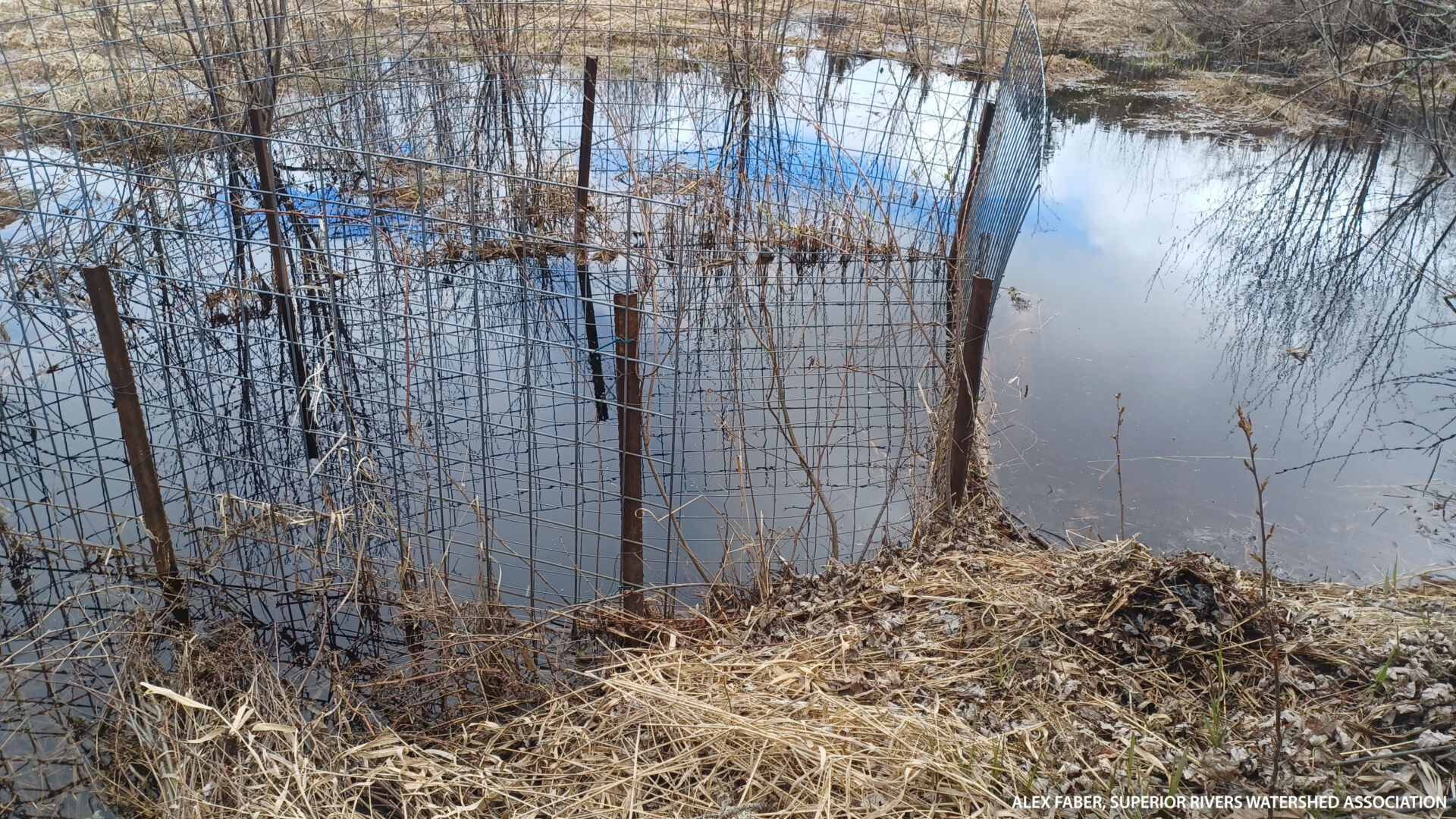
Town of Lincoln “beaver deceiver” helping keep the culvert clear of debris.
3. Click to Enlarge
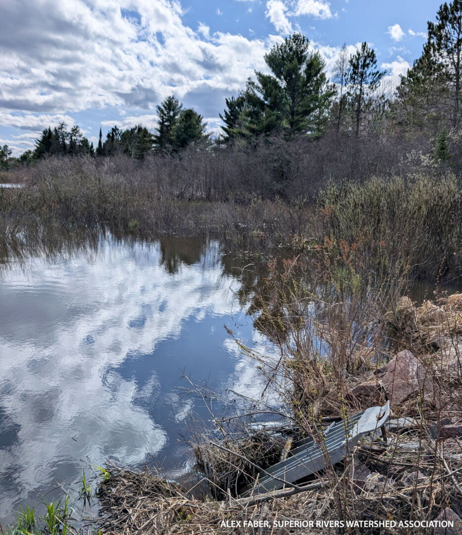
Town of Sanborn uses a grate over a culvert inlet to help keep debris out.
4. Click to Enlarge
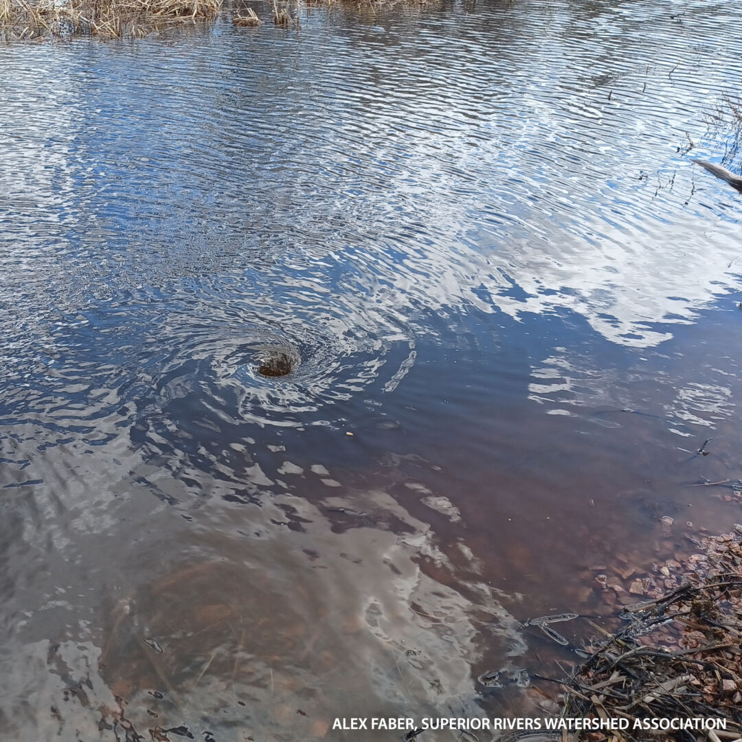
Clogged culvert was just cleared, creating a vortex of water moving under the road!
Spring/ Summer: Capacity Building for Slow the Flow
Over the summer, we shifted our focus to many of the other project activities that will support communities to slow the flow and be more flood resilient. Stephanie worked with NOAA and others from the project’s GIS team to build on and improve the flood resilience assessment data. One of the key datasets is a high-resolution digital elevation model, which gives us a detailed view of the Lake Superior region’s unique topography. With the use of geospatial analysis tools, we are using the model to better understand where hydrologic features, such as headwater wetlands, are located and how they connect across the landscape. When combined with infrastructure data and community input, we can get a fuller picture of how water moves across the South Shore watersheds today.
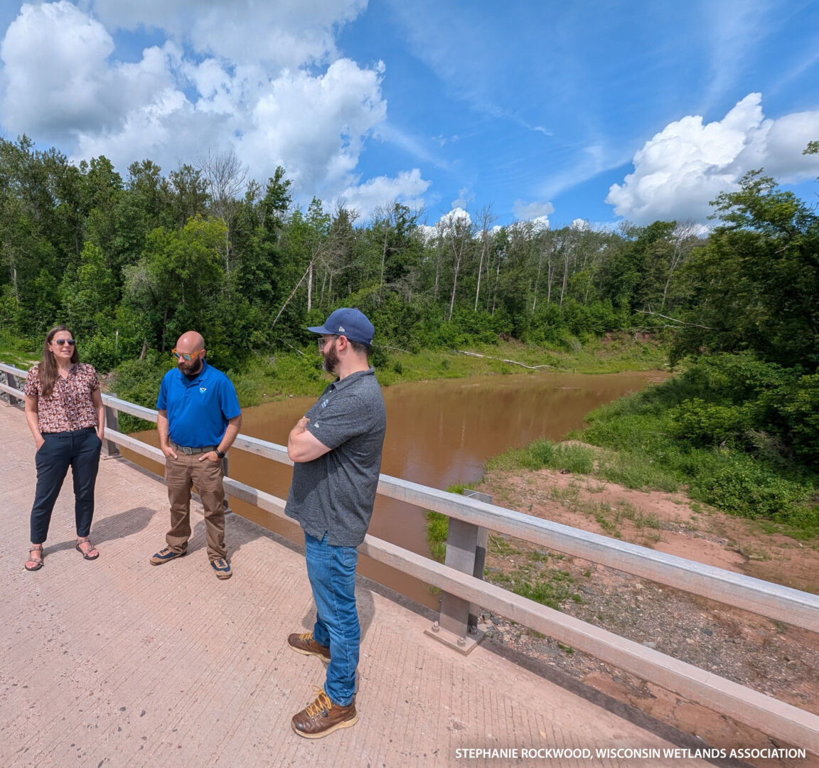
Kyle Magyera stands with NOAA staff on the newly rebuilt County Highway W bridge over the Nemadji River. This Douglas County bridge was repetitively damaged and eventually collapsed due to big flood flows and large woody debris.
Kyle and Stephanie were also both out at a few conferences presenting on slow the flow concepts, our flood resilience assessment framework, and what we’re learning about flood risk in the Lake Superior Basin. In May, Kyle presented at the National Adaptation Forum in Pittsburgh, and Stephanie was in Ashland with the Wisconsin Land Information Association. In June, Stephanie was joined by Jennifer Western Hauser, WWA Policy Liaison, to present virtually to the Coastal States Organization and some members of the US Congress.
To round out the summer, Kyle and Stephanie travelled north to Superior to spend time in person with all the project’s core team members and NOAA staff. This trip served as a big project goals and milestones check-in, the kick-off of a new Slow the Flow communications strategy in the Lake Superior Basin, and a really great opportunity to get everyone out to tour one the project’s focus watersheds: Nemadji River.
Up Next
We’re preparing for a busy fall and winter making progress with the GIS-based assessment and communications work. We plan to host more community conversations to share out some preliminary assessment results, using the information to support current discussions and prioritize additional opportunities for planning natural flood management projects. We can’t wait to share all about it in the next update!
Related content
$1.45 million awarded in highly competitive grant
Read more here about the details of this project and the NOAA award supporting it.
JULY 2025 UPDATE: What we’ve been up to with the NOAA Flood Resilience Project
Read about what we’ve been up to in the first year of the project funded by this competitive grant.
MARCH 2026: Update from the South Shore Flood Resilience Assessment project team