It’s often been said that when the really big rains come, all bets are off. Even wetlands can’t reduce the flood damage. This was proved wrong by one of the largest rain events to hit Northern Wisconsin in anyone’s memory. And this single rain event had a big influence on Wisconsin Wetlands Association’s priorities these past 8 years.
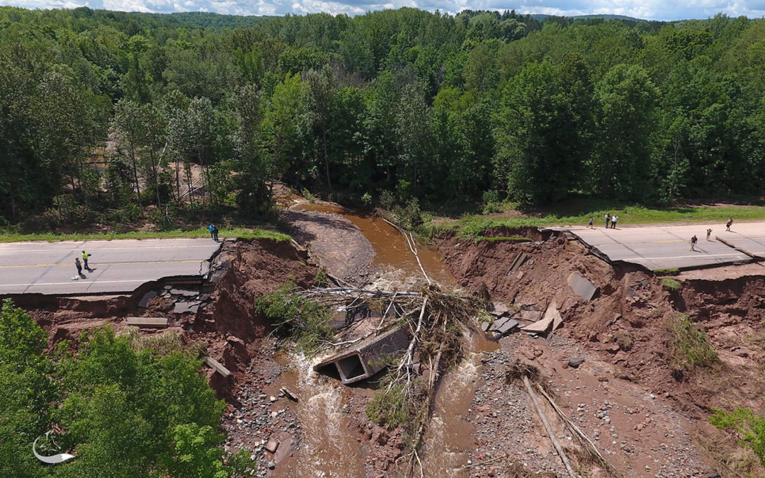
The year was 2016. The month was July. The storm was historic, dumping 15 inches of rain on most of the Bad River watershed in just eight hours. The result was tens of millions of dollars of infrastructure damage that disrupted the local communities for months. The storm washed out roads, damaged homes, and tragically took lives.
Four days after this deluge, I was scheduled to give a wetland tour in the Bull Gus Creek watershed of the Penokee Hills. I met the tour group in Ashland and drove with them to the wetland site at the top of the Penokees. What normally would have been a 45-mile drive to the site officially now involved a 200-mile detour due to extensive road damage. Luckily, because we knew so many people in that area, I was able to piece together an acceptable backroads route weaving in and around the road damage, using roads that the local towns heroically had pieced together to allow residents and emergency vehicles to navigate the washed-out landscape.
To my surprise, the closer we came to our destination, the less road damage we saw. When we arrived at the Bull Gus Creek watershed, the roads were mostly intact. Our drive to the top of the hill using dirt logging roads was no problem. This area had received 15 inches of rain just like the others we drove through, so why was this area relatively undamaged?
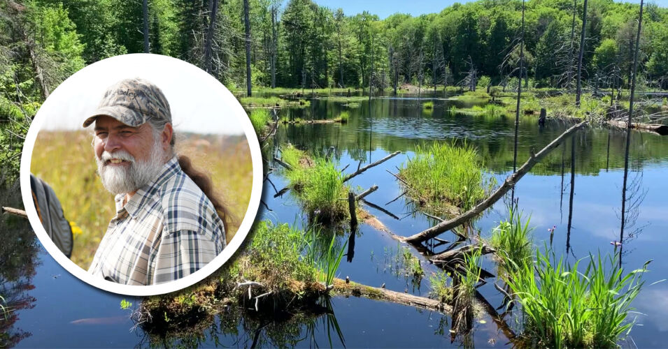
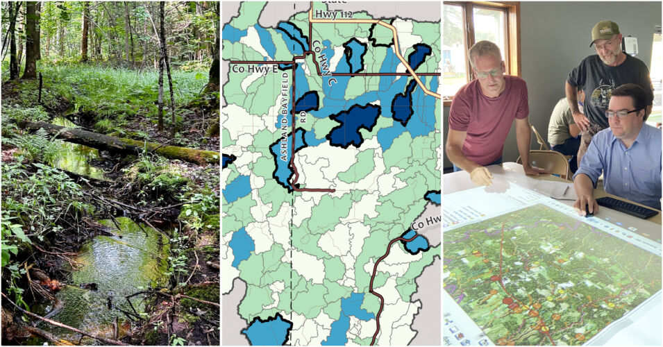
A big part of the answer is wetlands. The Bull Gus Creek watershed is incredibly wetland rich. Large numbers of small ephemeral wetlands capture runoff before it gets to the stream. Large northern sedge meadows flank the stream, slowing flood flows during snowmelt and rain events. And most dramatically, the entire watershed is held together by beavers.
When we arrived, we saw that all the ephemeral wetlands (which are normally mud flats in July) were filled to the brim with rainwater. Sedge meadows were inundated. Beaver dams that were initially breached were already repaired and holding water. Looking at this scene, you’d be hard-pressed to believe a historic rain event occurred here just four days earlier. These headwater wetlands performed admirably, capturing and slowing the flow of water and debris and reducing peak flood flows.
What we learned that day was that all bets were not off during this really big 15-inch rain event. Healthy wetland landscapes were able to help reduce damage. The epiphany we had that day has led to work we’ve been conducting since 2016. Wetlands will play a leading role in keeping our communities safe during ever-increasing flood events.
And because we’ve lost half of our wetlands here in Wisconsin, we must get busy returning large amounts of wetlands back onto landscapes all across the state. This is an ambitious but achievable job. And your support is helping us move toward this reality. You can read about two of our latest successes in this effort on our blog here and here. We have a lot of work left to do to achieve this goal, but working together, step-by-step, we’ll get there.
Related content
Making strides and mapping restoration opportunities
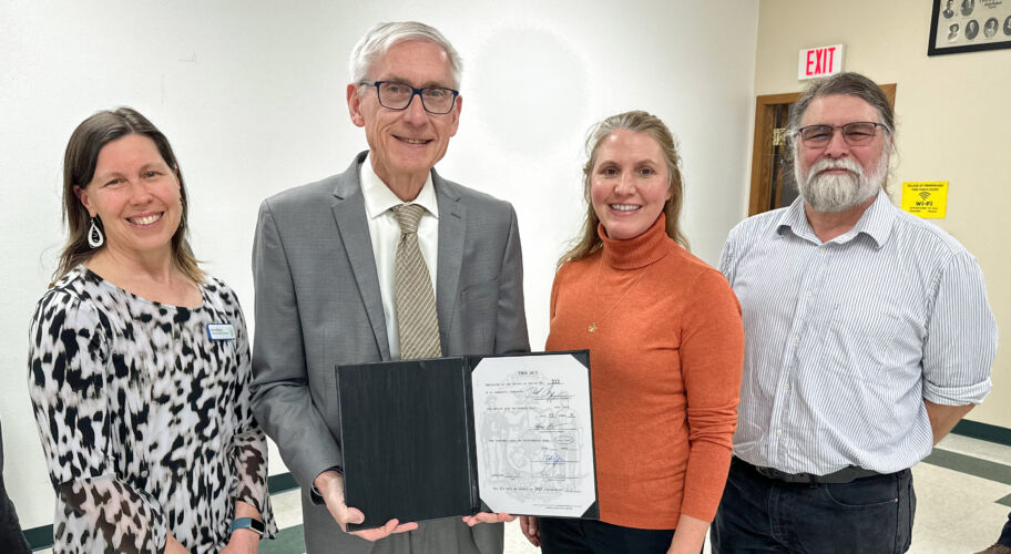
Pioneering Pre-Disaster Flood Resilience Grant Program becomes law
Read more about one of the recent successes that Tracy mentions in his Director’s column here.
