We are dedicated to the protection, restoration, and enjoyment of wetlands and associated ecosystems through science-based programs, education, and advocacy.
The latest news
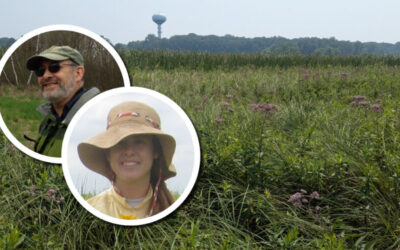
Wetland Coffee Break: Tackling aquatic invasive species with surveys, drones, and soil cores in the Pheasant Branch Conservancy
Presenters Evelyn Webb Williams and Tom Bernthal share how multiple types of data, both current and historical, were used to inform and develop an Aquatic Invasive Species plan.
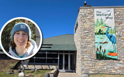
Wetland Coffee Break: The Wetland Way: Special new exhibit at the Cable Natural History Museum
Get a taste for how the Museum exhibits are designed in-house and how the exhibit provides educational venue for hundreds of visitors each year.
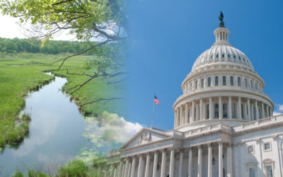
Proposed federal legislation would reduce barriers to restoring degraded floodplains
This bipartisan legislation reforms antiquated policies that have discouraged restoration of degraded floodplains by subjecting projects to the same review requirements as traditional development projects.