With much of our project work focused on improving wetland knowledge and changing behaviors, we often use pre-and post-event or project surveys to measure change. Periodically, we also step back and evaluate the impacts of our broader programs over time. We did this last spring through a “Ripple Effects Mapping” exercise focused on measuring how WWA’s 2016 -2021 Natural Flood Management (NFM) work in the Lake Superior Basin improved or influenced the work of our partners.
With grant support from the Wisconsin Coastal Management Program and The Brico Fund, we hired UW Extension evaluators to help invite and summarize input from 25 collaborators. The evaluation identified multiple positive examples of how WWA’s work has helped increase knowledge of and engagement in NFM, especially how it has increased new NFM-related investments across the Lake Superior Basin.
Related Content

Wetland Coffee Break: Using wetlands as solutions to reduce flood damage risks


Reducing flood risk through floodplain and wetland restoration
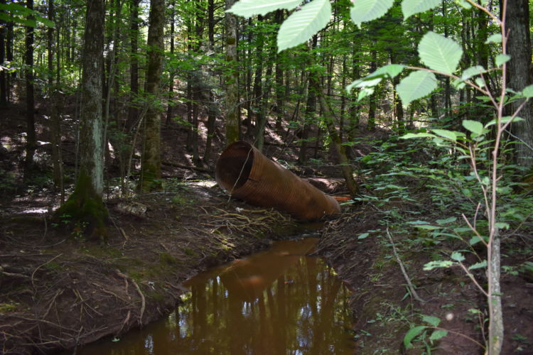
Learn about a hydrologic restoration project that WWA is involved with in Ashland County.